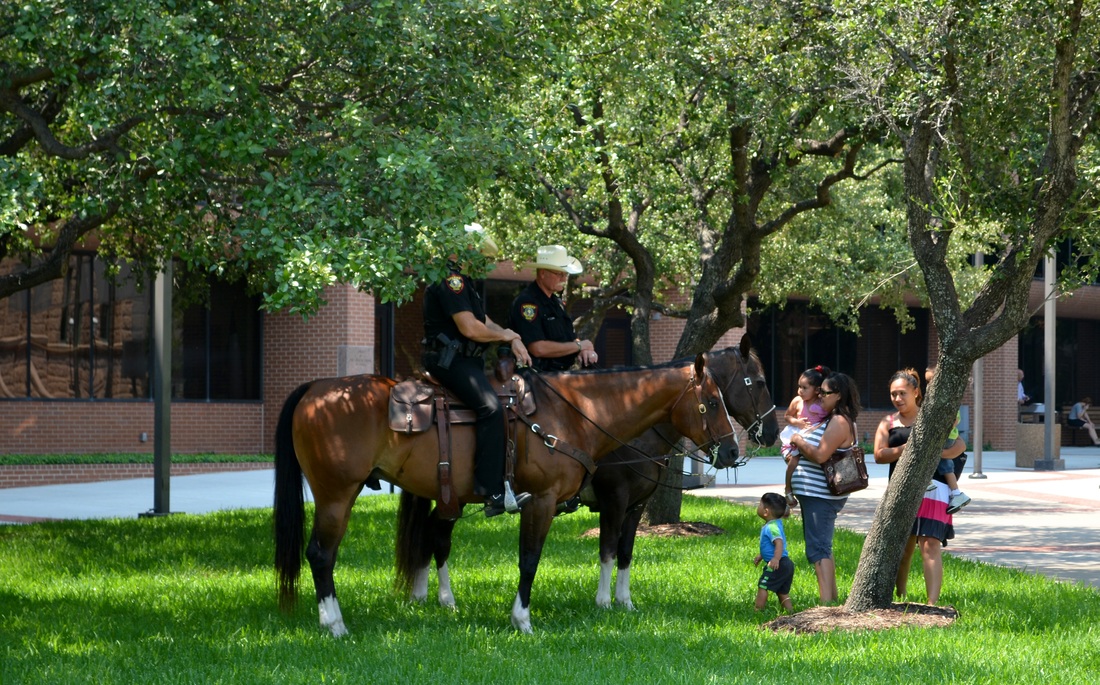
(When I return home from this road trip I will blog about the courthouses I've visited this weekend. For now I'll confine my remarks and photographs to the landscape and other points of interest, to me, at least.)

Ector County landscape with barrels
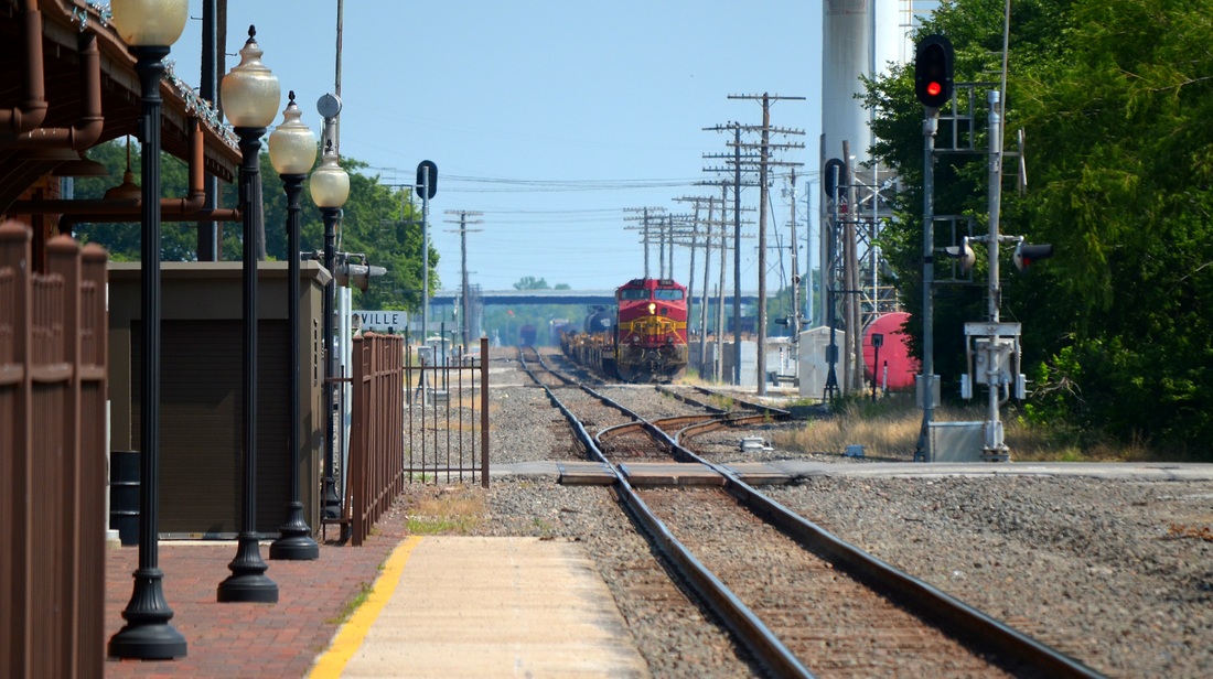
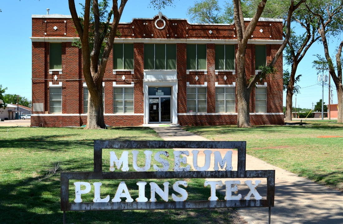
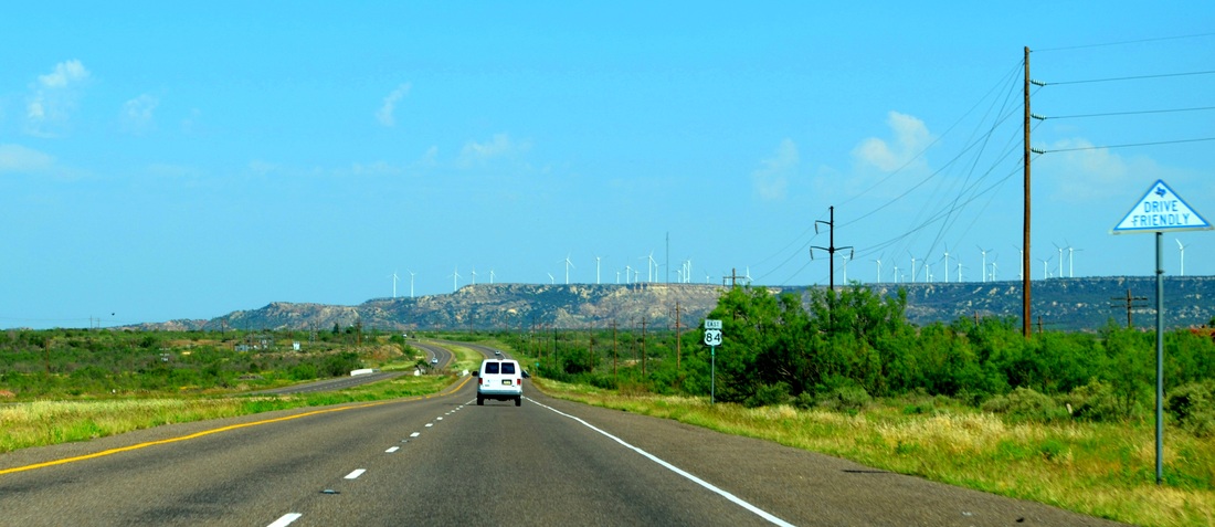
This morning I left Odessa, in Ector County, and drove west on I-20. First stop, Monahans, seat of Ward County. Yet another courthouse facade hidden behind trees. Back on I-20, moving into Reeves County the speed limit went from 75 to 80 MPH. At that speed I could have reached El Paso in less than 3 hours. Instead, I pulled off the road in Pecos, where I photographed the courthouse (more trees obscuring the front of the building) and had lunch.
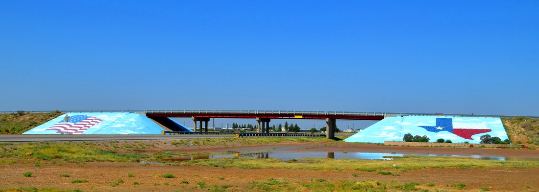
I-20, Highway 285 overpass in Pecos, Texas
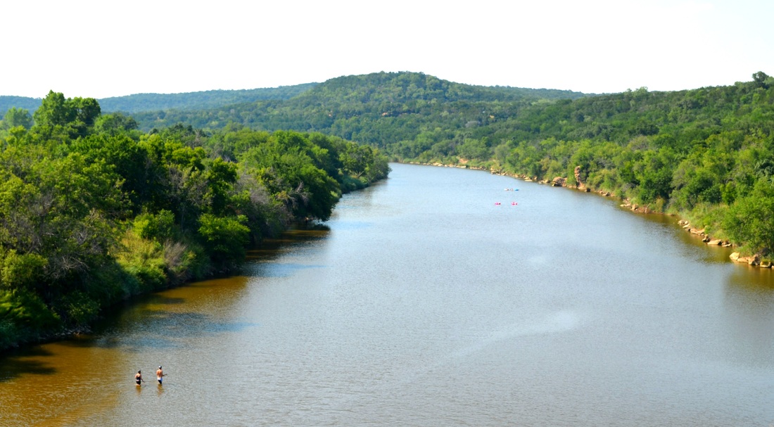
Full of TexMex food, I headed north on US Highway 285 and then turned east on Texas Highway 302, crossing the Pecos River and entering Loving County. The Pecos River runs 926 miles from the mountains of New Mexico to the Rio Grande River in Texas. North of the Highway 302 crossing, a dam creates the Red Bluff Reservoir. Therefore, the Pecos River is not much of a river where I crossed it this afternoon. What water there was came from rains the previous 2 days.
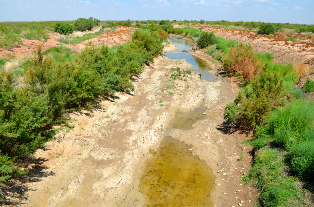
The Pecos River forms the boundary between Loving and Reeves Counties in West Texas.
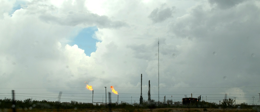
I have been looking forward to visiting Loving County for several years. Ever since I learned that it is home to the fewest citizens of any county in Texas, 82 of them in the 2010 census. Since I live in the county with the largest population in Texas, Harris, with over 4 million people, visiting a county with so few people was something to look forward to on my courthouse tour. Well, Loving County, like all of the Permian Basin is very busy with oil drilling activities and was not the quiet, isolated place I imagined. Traffic on 302 was non-stop and never quiet! Too many trucks and pickups for that. Here's a photograph taken from the Pecos River bridge at the county line.
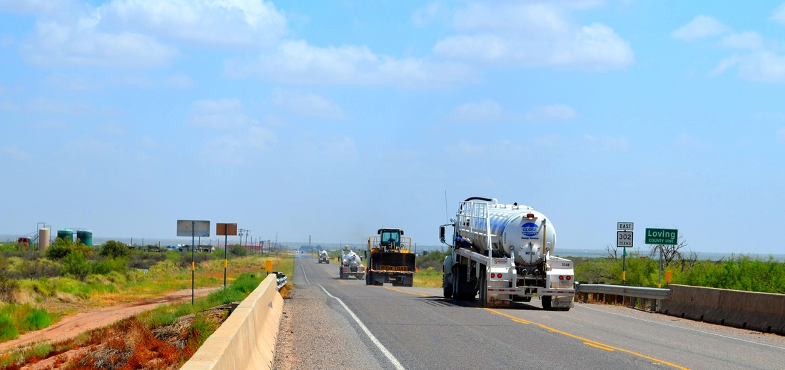
Welcome to Loving County, Texas
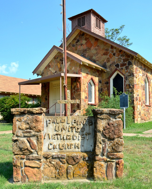
My guess is there are more than 100 people residing in Loving County now. The small crossroads community of Mentone, the only "town" in the county, is home to a small, 1935 era courthouse and, to my surprise, a new courthouse annex, too. Progress has come to Loving County. One photograph from Mentone: the small community church, dating from 1910. It's the oldest building in the county. Not that there are many buildings in Loving County...
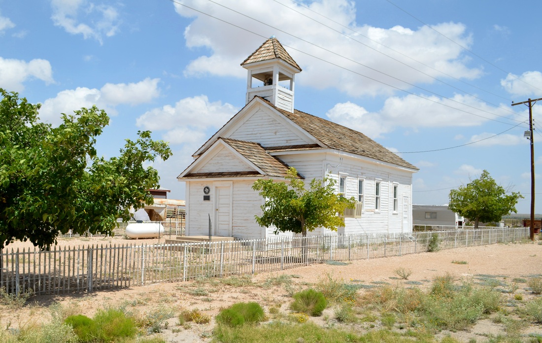
Mentone community church. Built 1910 in Porterville and moved to Mentone in 1930 after Porterville was destroyed by a flood.
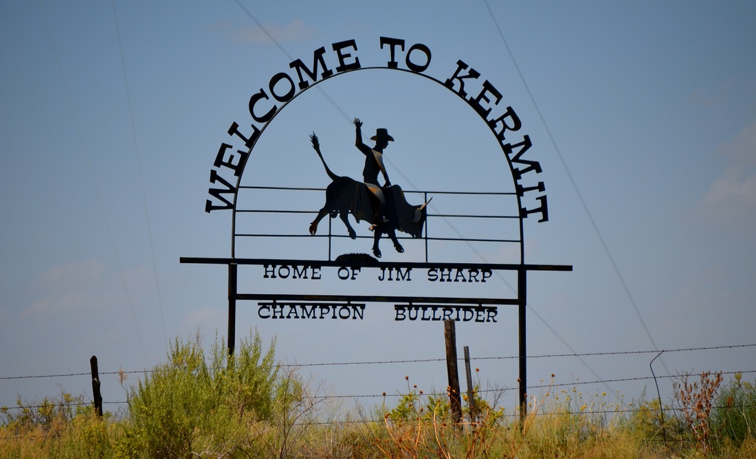
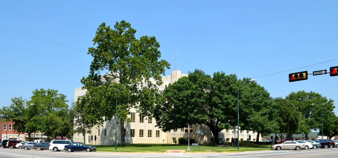
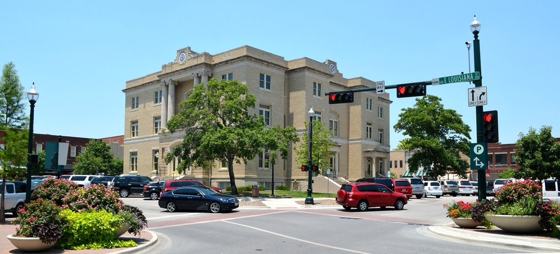
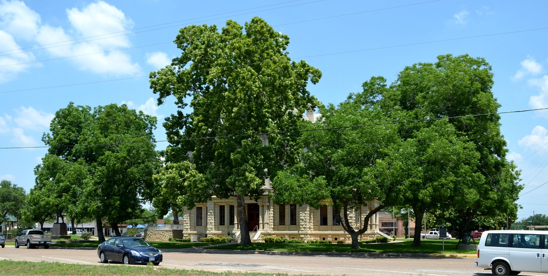
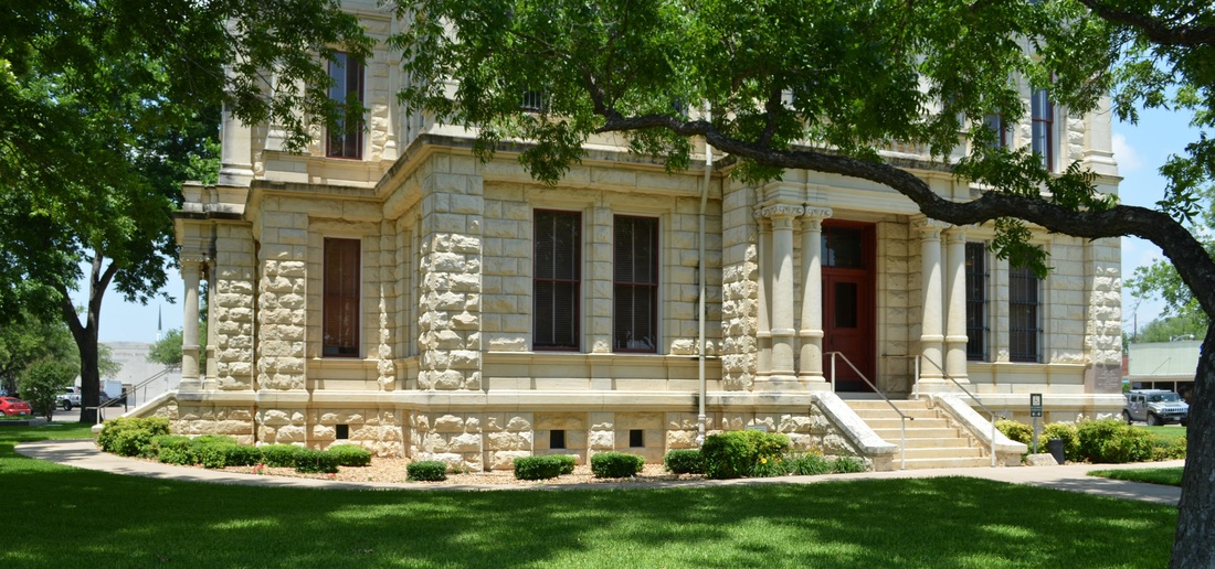
From Mentone I continued east on 302 into Winkler County and Kermit, the county seat and home to Jim Sharp. Once again, the front facade of the courthouse, a David Castle design, is almost completely hidden by mature trees.
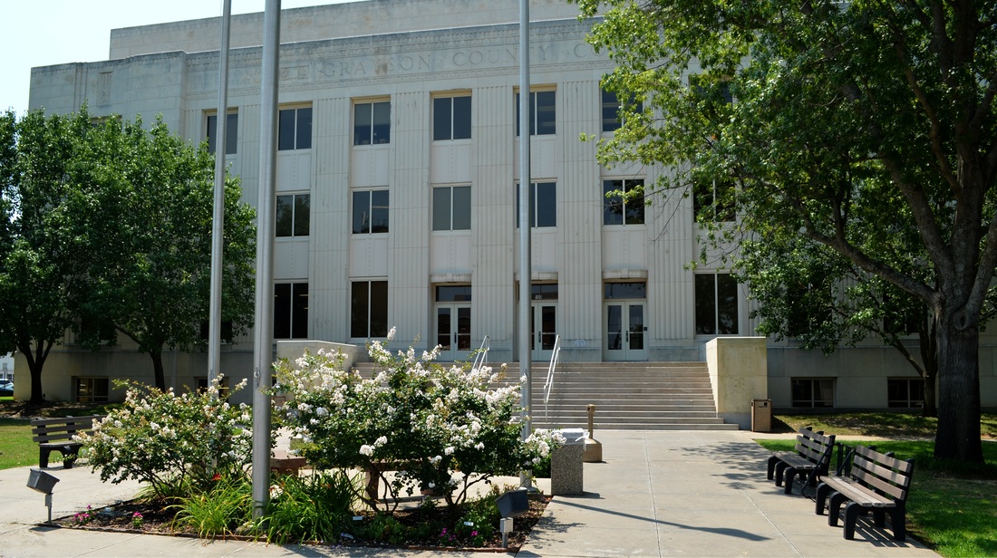
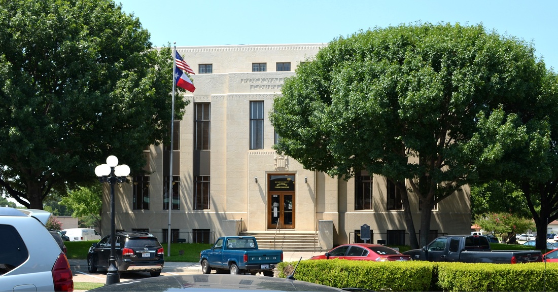
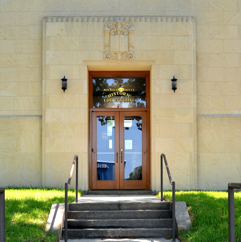
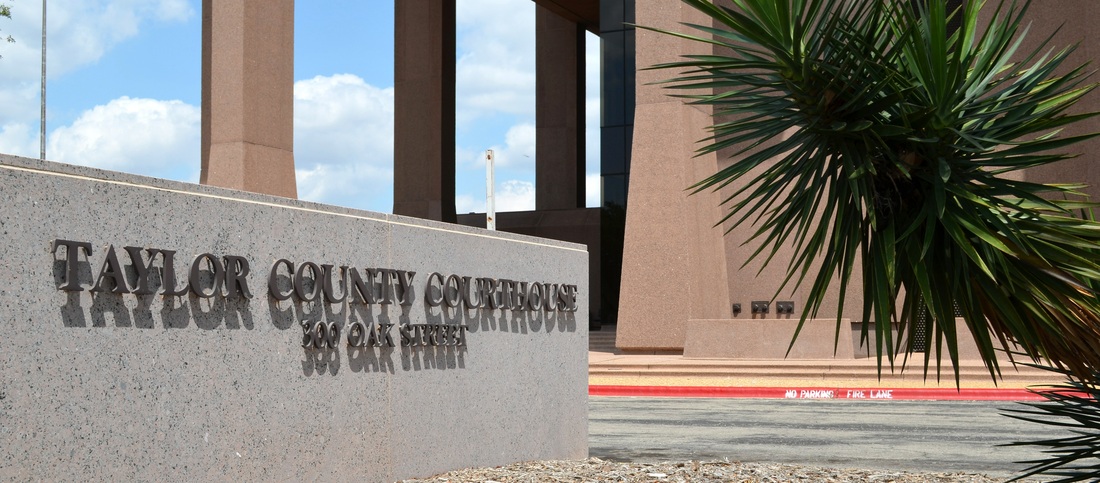
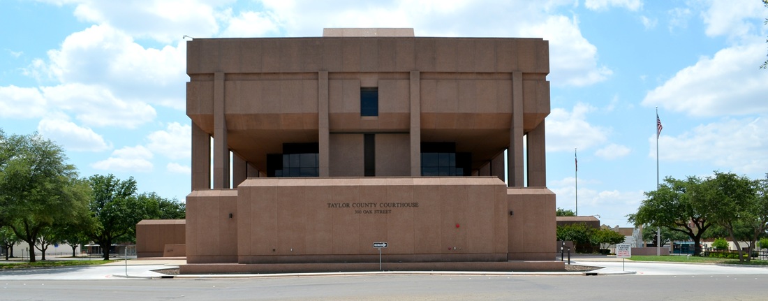
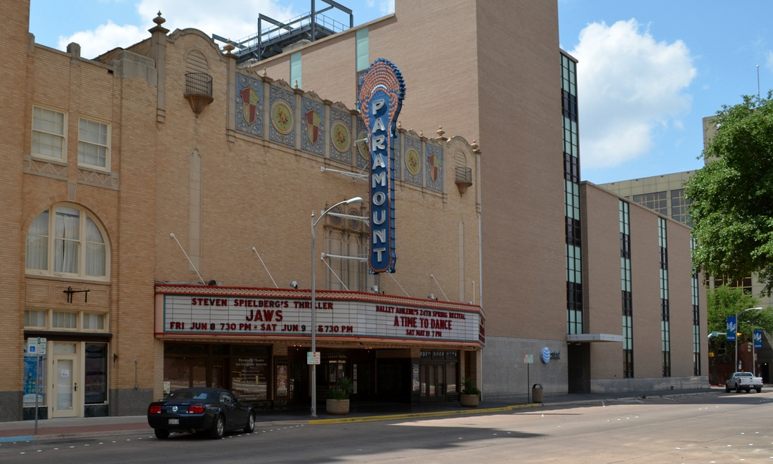
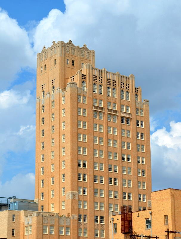
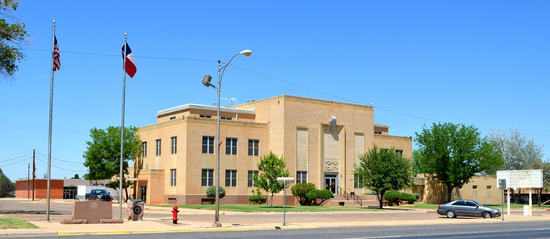
From Kermit I drove east and passed north of Odessa on my way to Midland, seat of Midland County. The Midland courthouse is another example, like Scurry County, for instance, of the art of absorbing an older courthouse building into a brand, new modern courthouse! However, more surprises awaited me in downtown Midland. Signs in the doors of the courthouse announced a move to a new county courthouse! I will have to find out what's going to happen to the old one. The new courthouse is just a few blocks north and is a make-over of an existing highrise office building. Very boring, but, I'm sure, practical and efficient, and a good use of the taxpayers money, etc.
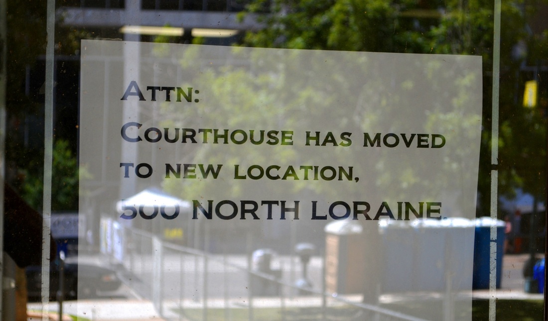
Sign on Midland County courthouse door
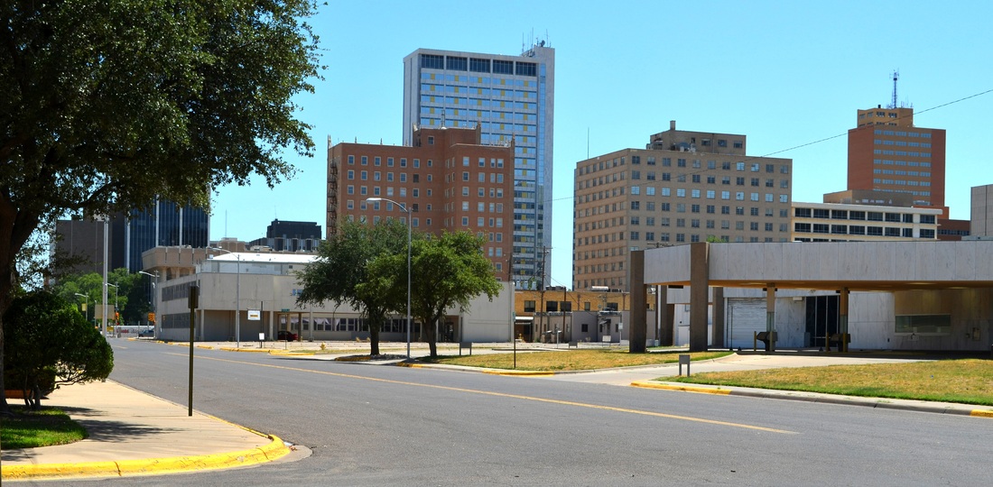
You can just make out a portion of the "old" courthouse in this view from the corner of the "new" courthouse in Midland.
I'll be on the road tomorrow, visiting Andrews, Seminole, Lamesa, and, for a second time, Gail, before returning to the Midland Airport and my flight to Houston.
Now, back to the Olympics on NBC...
Now, back to the Olympics on NBC...


 RSS Feed