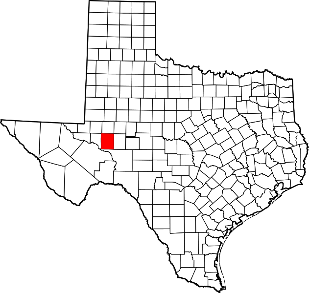
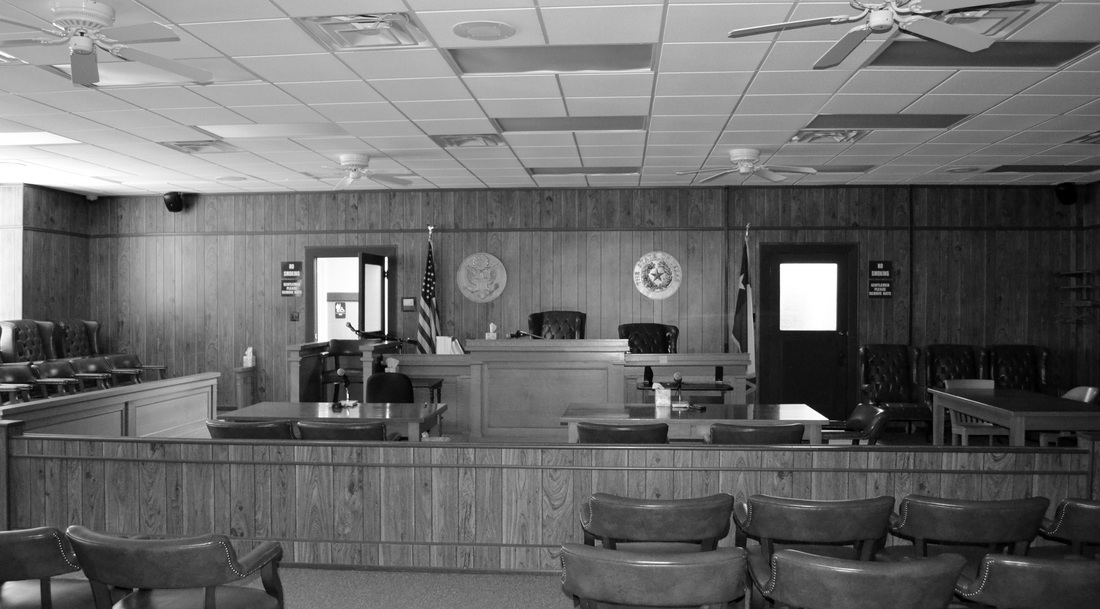
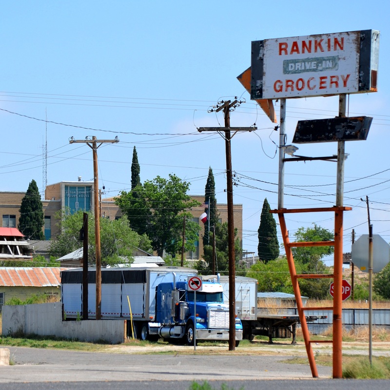
163 of 254 Upton County Courthouse, Rankin, Texas. County Population: 3,355
|
"In the 1860s the Chihuahua Trail from Mexico to Indianola, Texas, a significant trading route, crossed the region, as did the route of the Butterfield Overland Mail (1858–61), and the Goodnight-Loving Trail. Originally part of the Bexar Territory, the area was part of Tom Green County from 1874 until 1887, when Upton County was established.
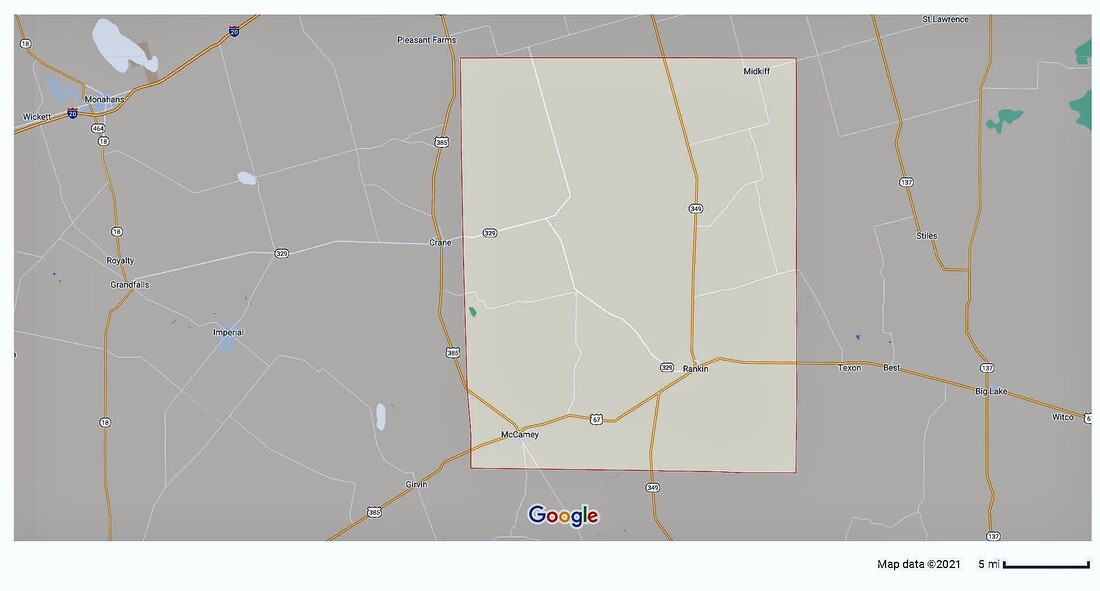
"The area was named for Confederate generals John C. and William E. Upton." "By 1910 there were 105 ranches or farms in the area, and the population had increased to 501; the county was organized that year, and Upland became the county seat. "In the fall of 1911 the Kansas City, Mexico and Orient Railway reached the townsite of Rankin, and by January 1912 most of the people living in Upland had moved to Rankin. The county's population soon was concentrated at or near Rankin, and after 1913 the town's school system served the entire county. Rankin became the county seat in 1921. "In 1926 George McCamey's wildcat brought 700 hopeful people to the area and established a new town in the southwest corner of Upton County named for the oil discoverer." William R. Hunt and John Leffler, "UPTON COUNTY," Handbook of Texas Online Nothing remained of Upland, the former county seat, by the 1980s. I visited Upton County and photographed the courthouse in Rankin on July 27, 2012 and again on Sunday, May 11, 2014.
|
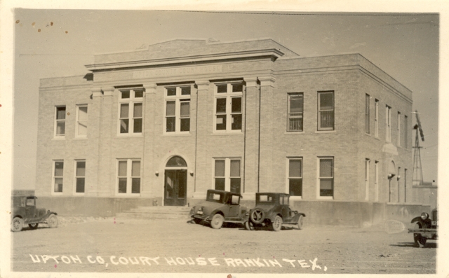
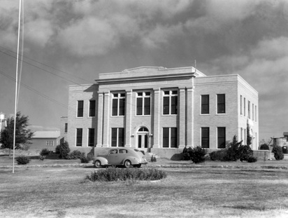
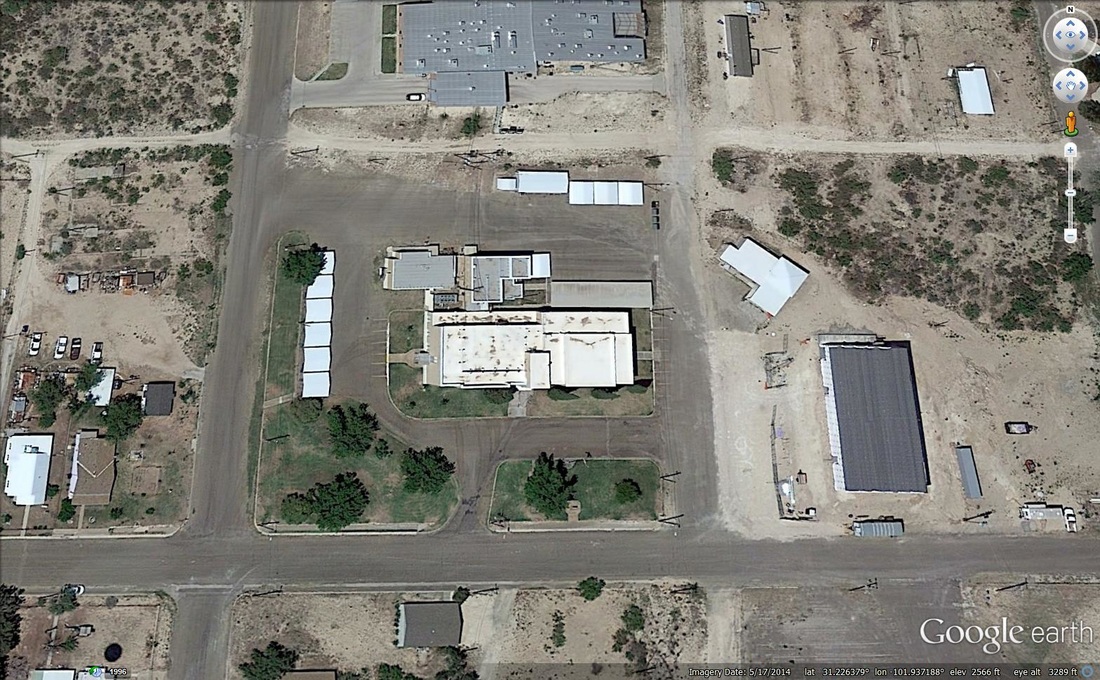
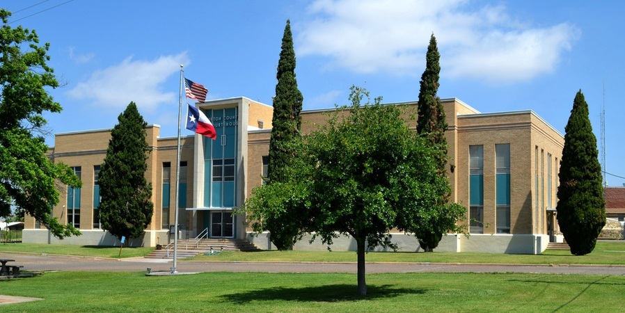
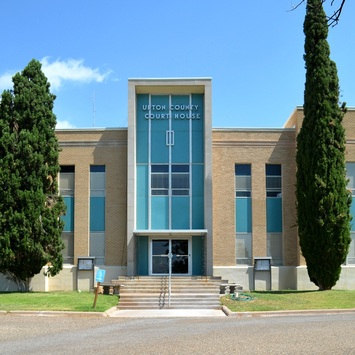
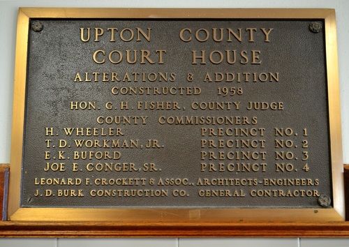
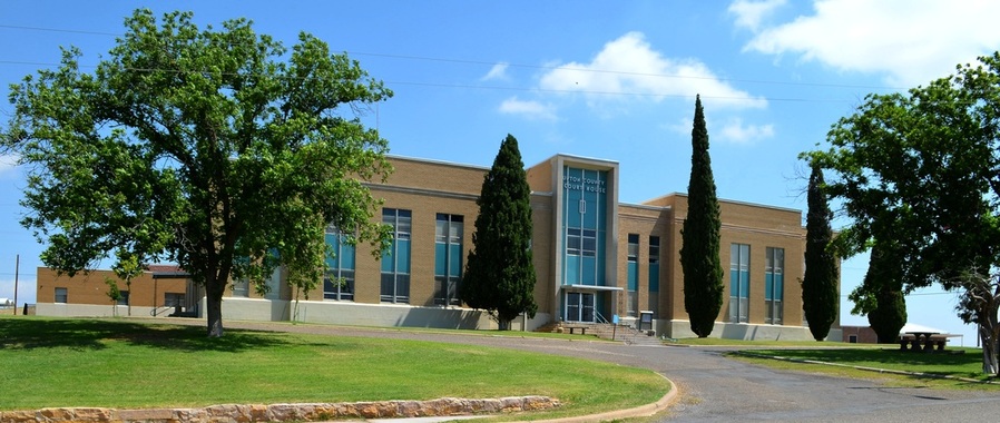
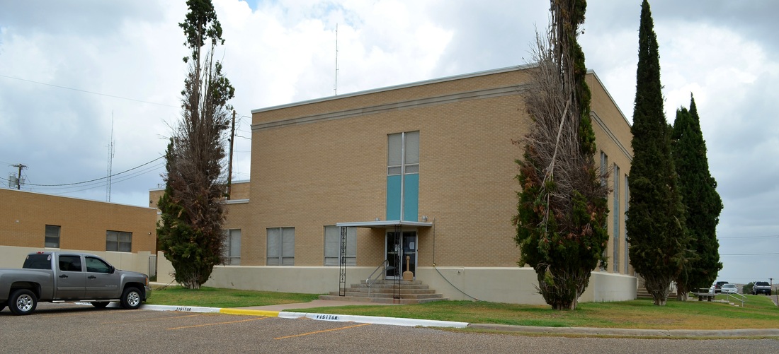
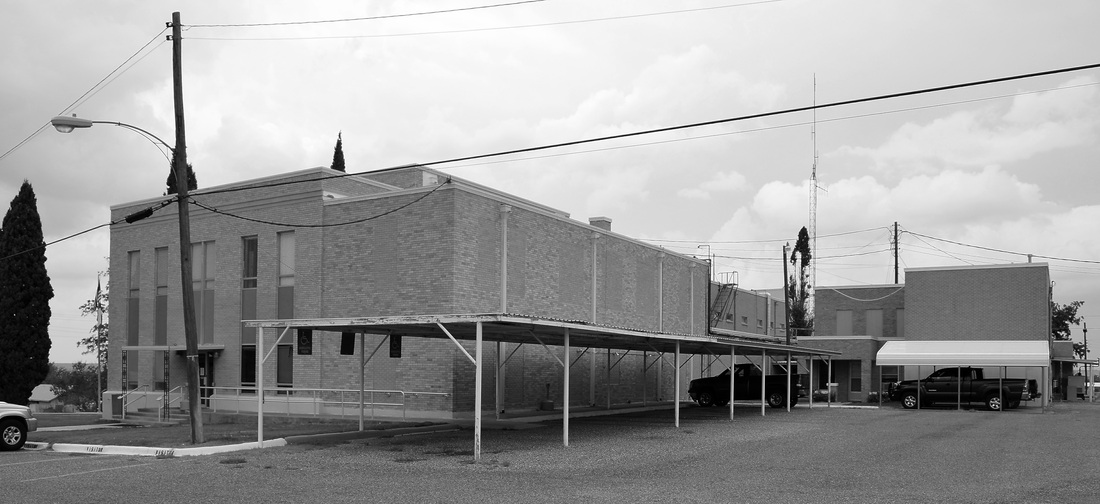
Architect David S. Castle, of Abilene, was the designer of this courthouse. In 1958 Leonard F. Crockett & Associates, Architects and Engineers, designed significant alterations and additions to the courthouse. The contractor was J. D. Burk Construction Company. The "new" courthouse completely engulfed and obscured the 1926 building. The new courthouse addition was erected to the west, or left in the above photographs, of the original courthouse. The 1926 building's front façade, including the door, was removed and new windows installed. The view below, from the southeast, is of the wing of the courthouse that contains the 1926 building. The outline of the original building can be seen clearly in the Google Maps aerial photograph.
