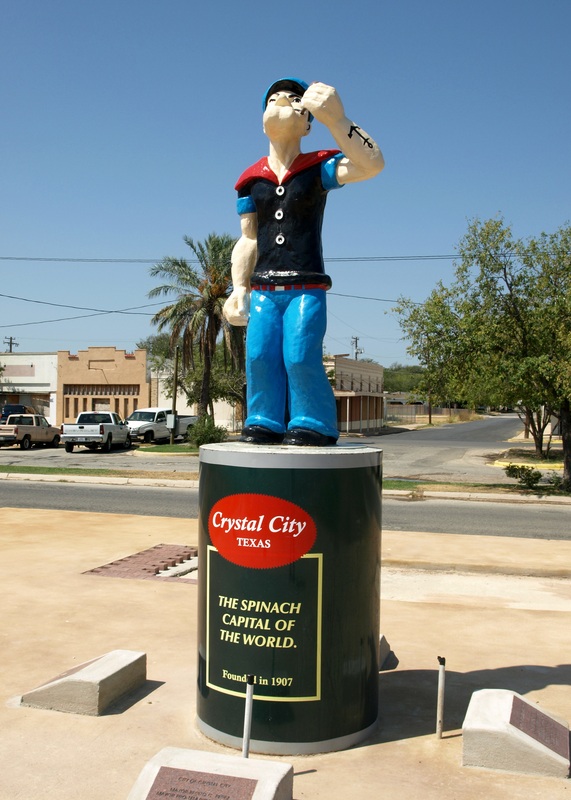
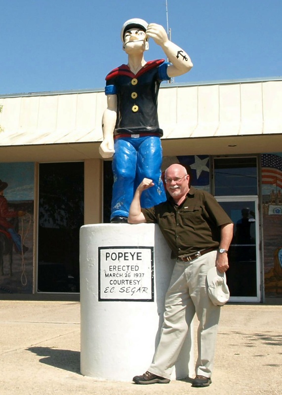
021 of 254 Zavala County Courthouse, Crystal City, Texas. County Population: 11,677 & 3 Popeyes
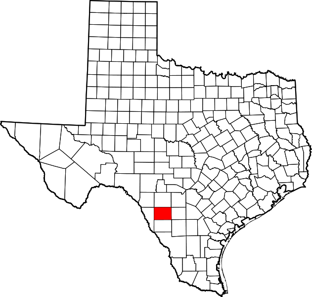
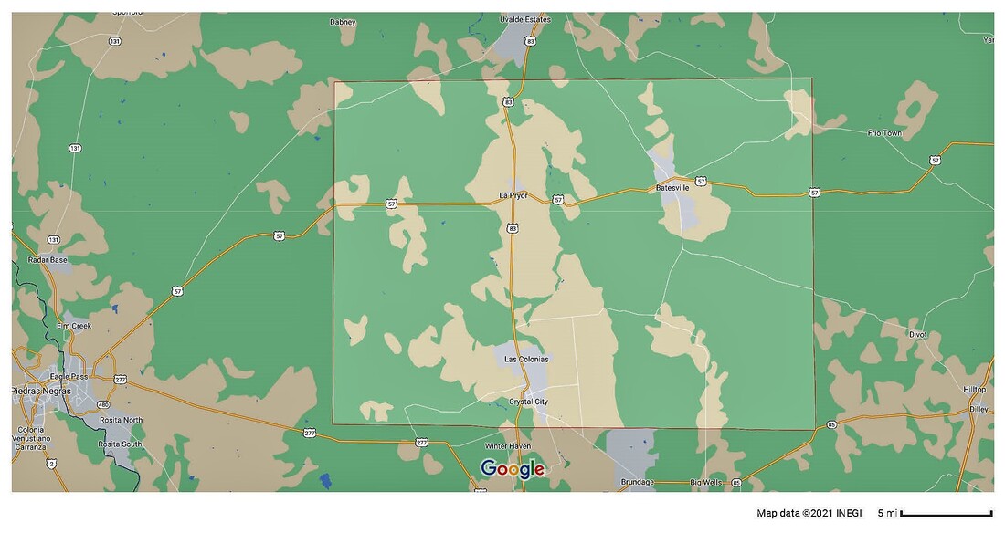
Zavala County, Texas
|
"Zavala County is in the Rio Grande Plain region, a brush land with dry streams. Most of the county was once a grassland, with numerous perennial streams lined with trees. Changes in the local environment are believed to have been influenced by ranching and farming practices as well as the spread of mesquite and thorny shrubs from northeastern Mexico.
"The Carrizo-Wilcox Aquifer, which underlies much of Zavala County, provides water for irrigation and public and industrial uses. "The topography of the county consists of generally flat land and slightly undulating plains. Elevations range from 580 feet above sea level in the south to 964 feet in the north. "Zavala County is in an area of Texas that was disputed territory after the Texas Revolution. The Mexican government and the Republic of Texas both laid claim to the land. In an attempt to reinforce the choice of the Rio Grande as the Texas boundary with Mexico, the state legislature in 1846 established a county between the Nueces River and the Rio Grande and called it Zavala County, named for Lorenzo de Zavala, a Mexican colonist and one of the signers of the Texas Declaration of Independence. "In 1858, when the county was organized, the name was misspelled 'Zavalla' by the legislature. A bill entitled 'knocking the `L' out of Zavalla' was introduced and passed in the Texas legislature in 1906, but was rejected by the federal government. Not until 1929 was the mistake corrected." Ruben E. Ochoa, "ZAVALA COUNTY," Handbook of Texas Online |
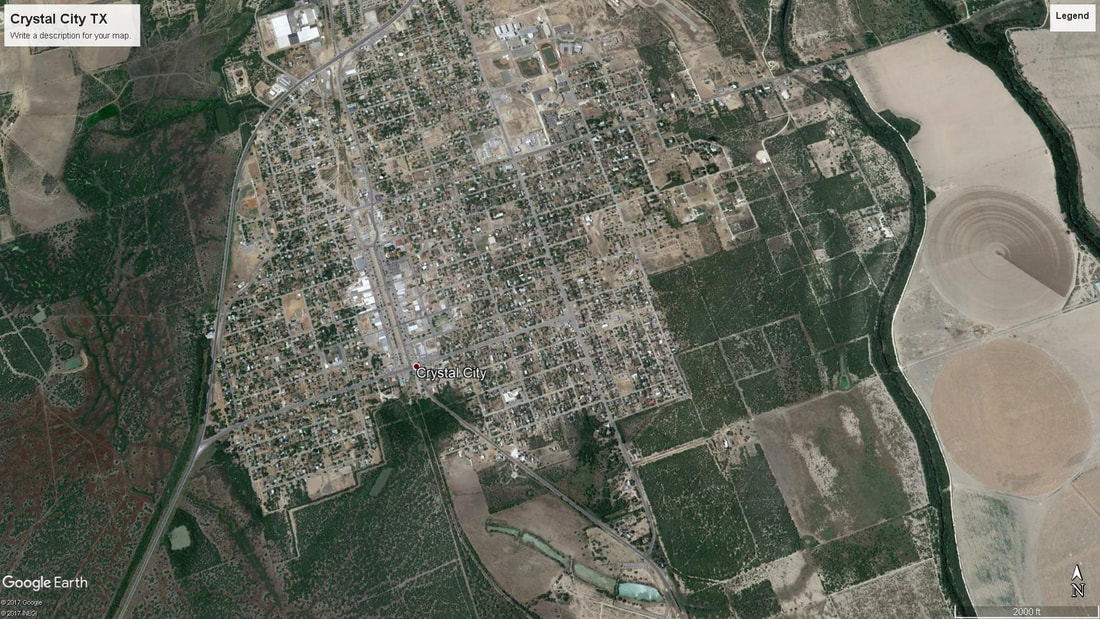
I visited Zavala County and photographed the courthouse and Popeye statues on August 27, 2009 and April 27, 2014.
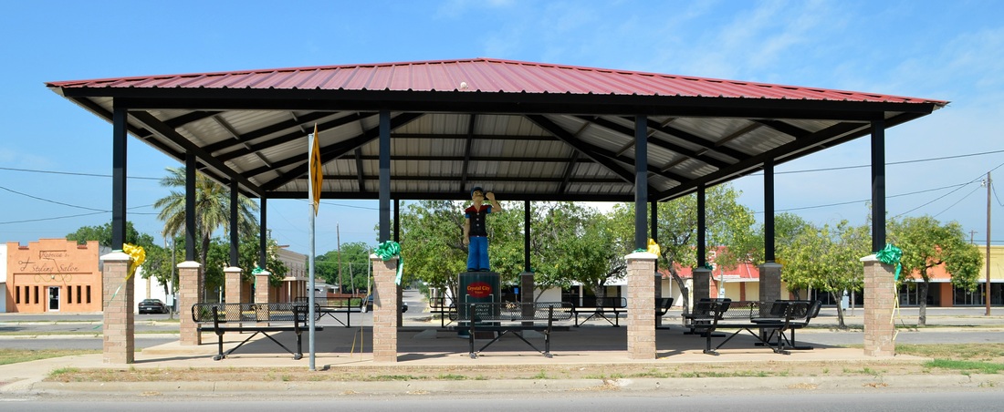
"Downtown" Popeye is now protected from the elements. When I visited in 2009 he was exposed (see below, left)
|
|
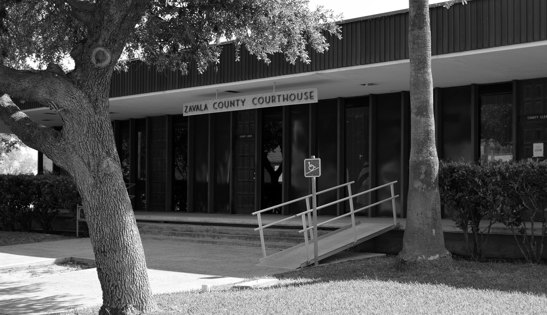
Zavala County Courthouse 1928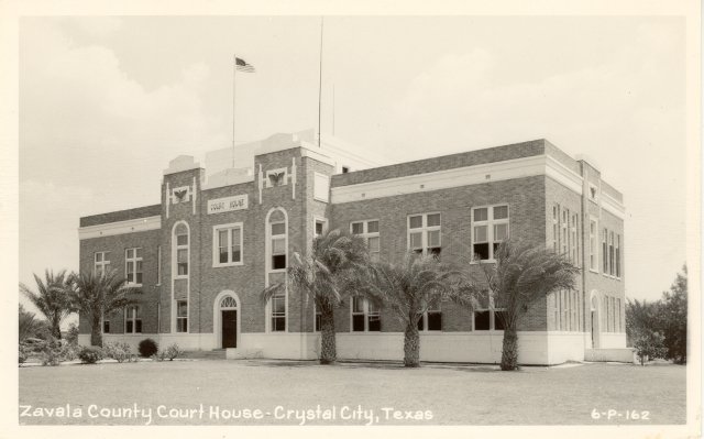
Image courtesy courthousehistory.com
|
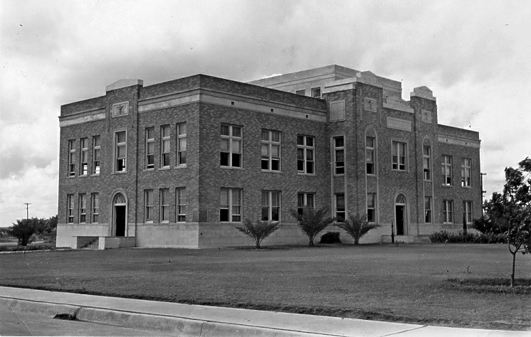
Photograph, circa 1939, courtesy TXDOT
This now demolished courthouse was designed by the San Antonio based architect, Henry T. Phelps.
|
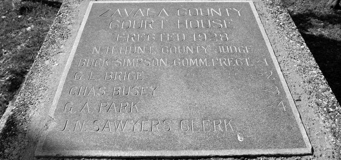
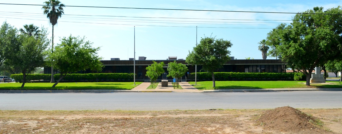
The cornerstone from the 1928 courthouse is now displayed on the grounds of the 1970 courthouse
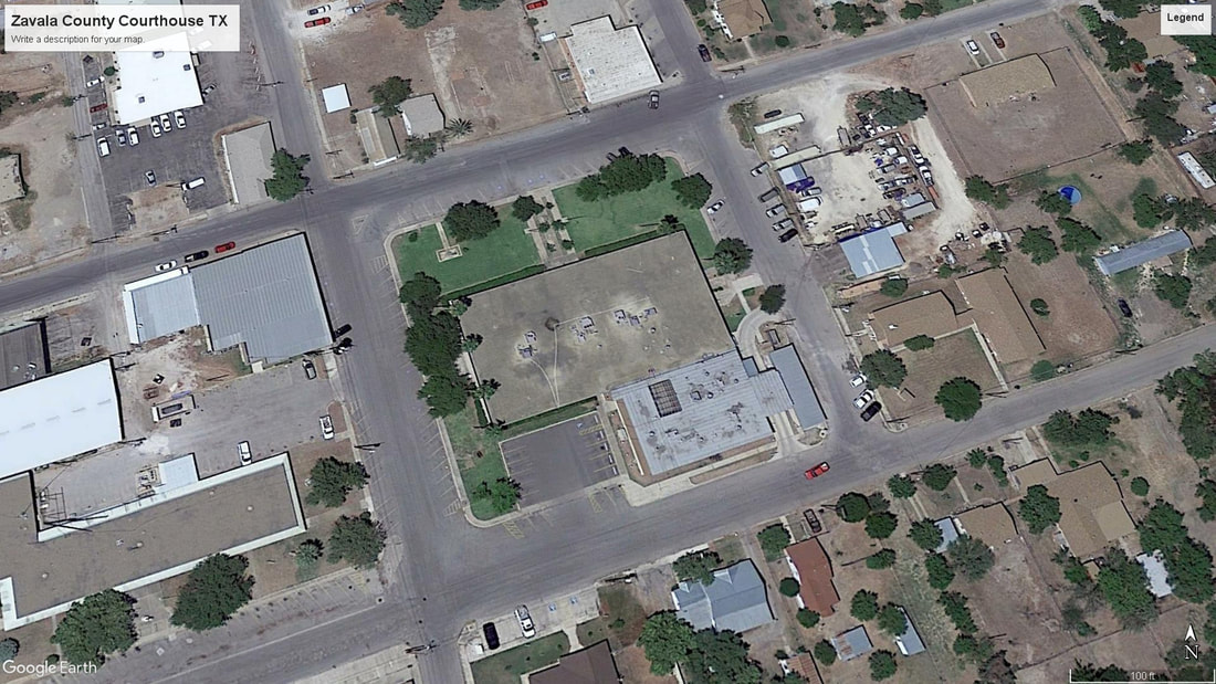
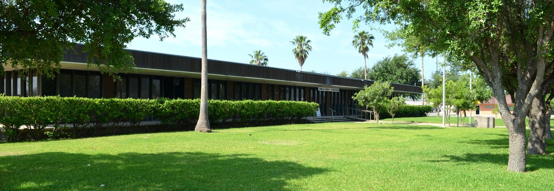
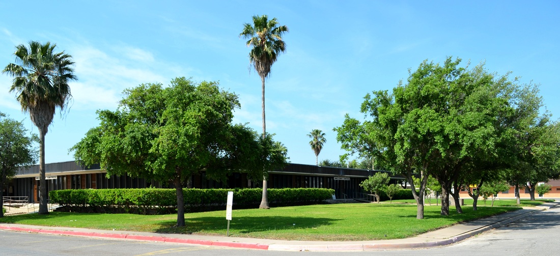
Zavala County Courthouse 1970 Designed by the Midland firm of Pierce, Pace & Associates
The front façade of the courthouse faces north and slightly west, on E. Uvalde Street
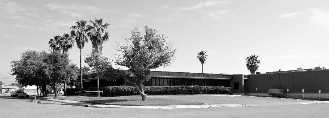
The 1928 courthouse stood on this block until it was demolished to make way for this long, boring, banal replacement
The northeast corner, at E. Uvalde St. and N. 2nd Ave
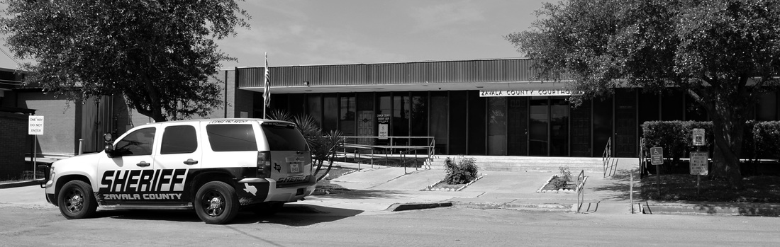
The Sheriff's Offices and County Jail are on the southeast side of the courthouse
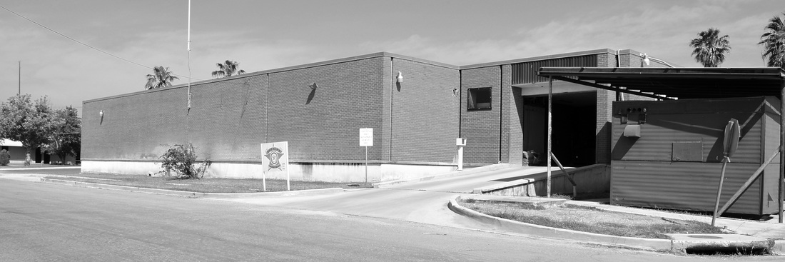
The County Jail is a later addition to the courthouse. This is the view from E. Dimmit Street, on the south side of the building
The southwest corner of the Zavala County Courthouse with the County Jail addition on the right
The west façade on N. 1st Ave includes a "ski jump" wheelchair ramp
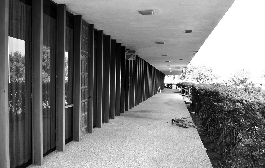
The perimeter of the building is a continuous porch, shaded by a cantilevered roof
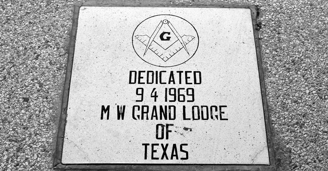
The "cornerstone" is laid in the floor of the porch
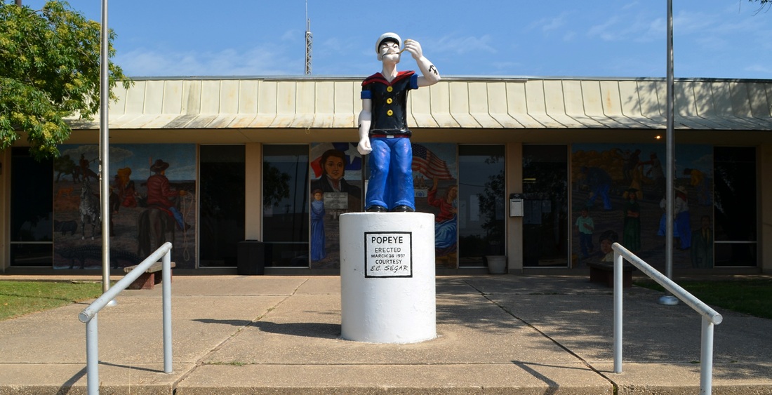
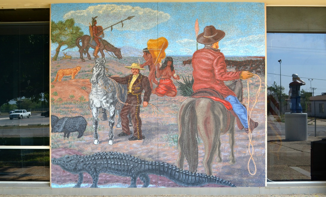
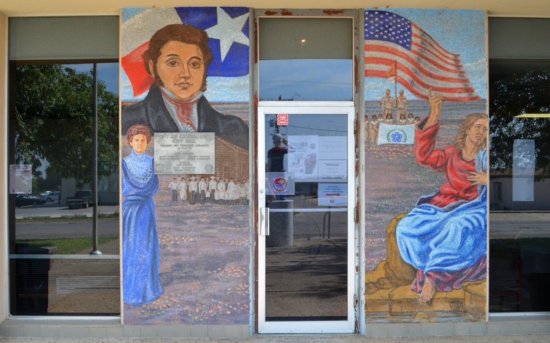
Popeye greets visitors to the Crystal City municipal building