202 of 254 Crosby County Courthouse, Crosbyton, Texas. County Population: 6,059
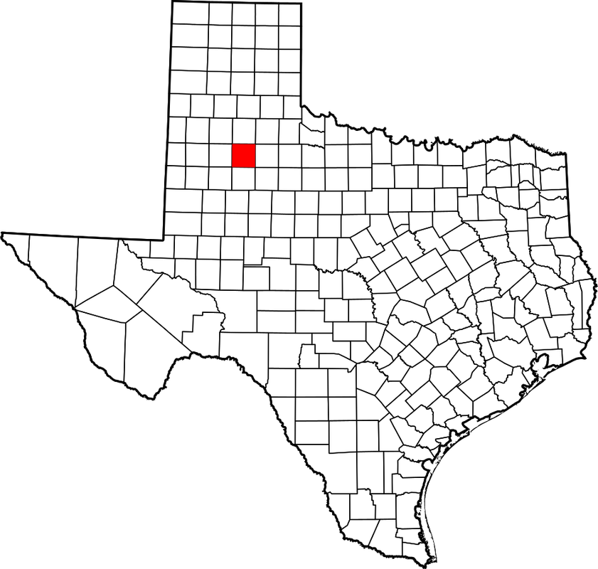
Crosby County, Texas
|
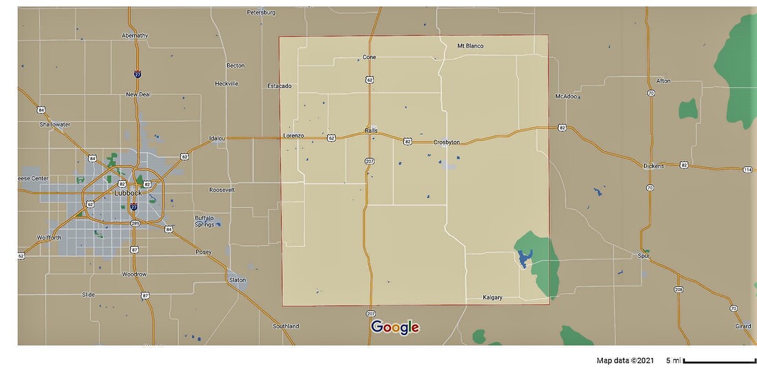
"Crosby County is on the eastern edge of the southern High Plains, bounded on the west by Lubbock County, on the north by Floyd County, on the east by Dickens County, and on the south by Garza County. It was named for Stephen Crosby, a Texas land commissioner during the mid-nineteenth century.
"Most of the western half of Crosby County, flat land covered by rich loam, lies above the Caprock, and the eastern part of the county and its southwestern corner are broken country below the Caprock. Drainage is to the forks of the Brazos River, White River, and numerous playas. The county covers 911 square miles; its altitude ranges from 2,100 to 3,200 feet. "In 1876 the Texas legislature formed Crosby County from lands previously attached to the Young and Bexar districts. Crosby County was formally organized after elections held in 1886, with Estacado (the new name of the town formerly called Marietta) designated as the county seat. In 1891 Emma became the seat of government. The transition from the era of the giant cattle ranch to one of mixed farming and ranching accelerated during the early twentieth century, when many farmers moved into the area to grow cotton. "Emma, the county seat, faded away after the railroad was routed five miles to the north of the town. In 1910 Crosbyton became the new county seat." John Leffler, "CROSBY COUNTY," Handbook of Texas Online I visited Crosby County and photographed the courthouse at Crosbyton on Friday, May 9, 2014. |
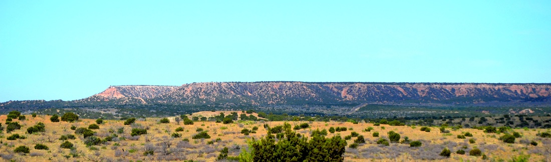
The edge of the caprock in southwest Crosby County
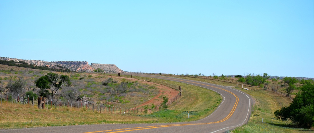
Approaching the caprock from the south, on the road from Post, in Garza County
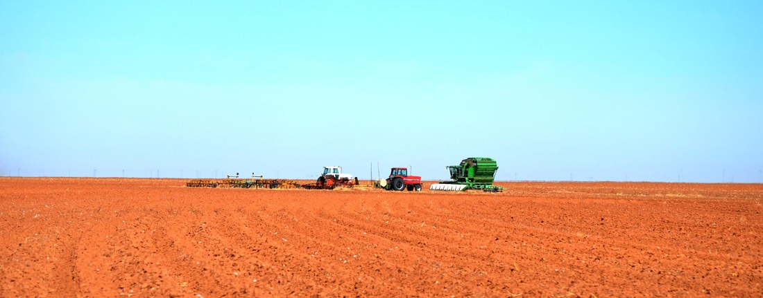
South of Crosbyton, on the caprock of the south plains, in all its agricultural splendor
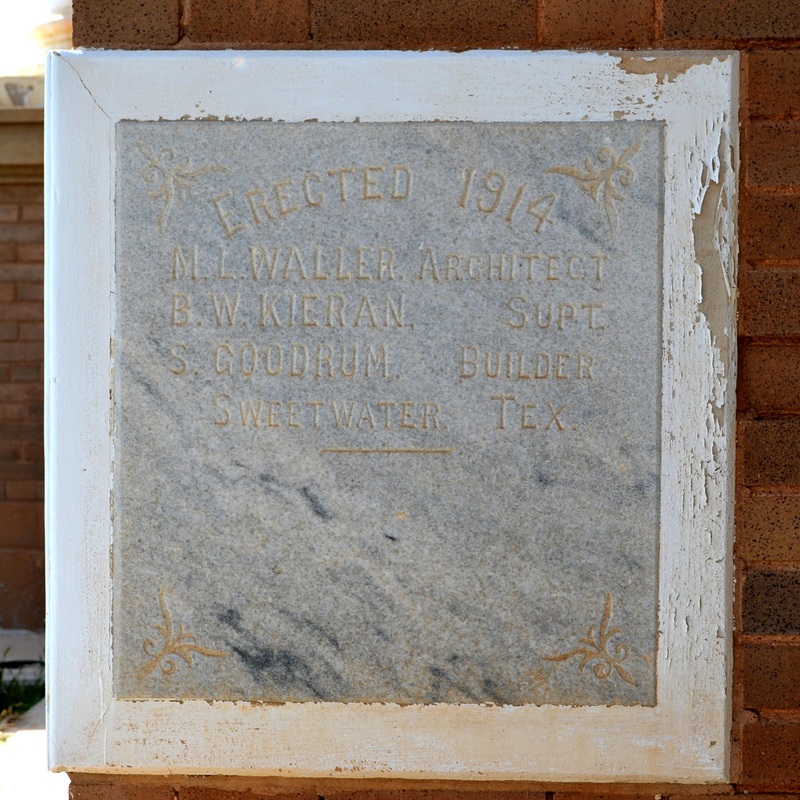
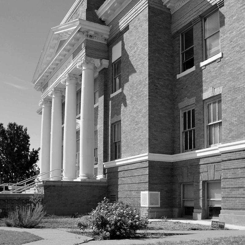
Crosby County Courthouse 1914
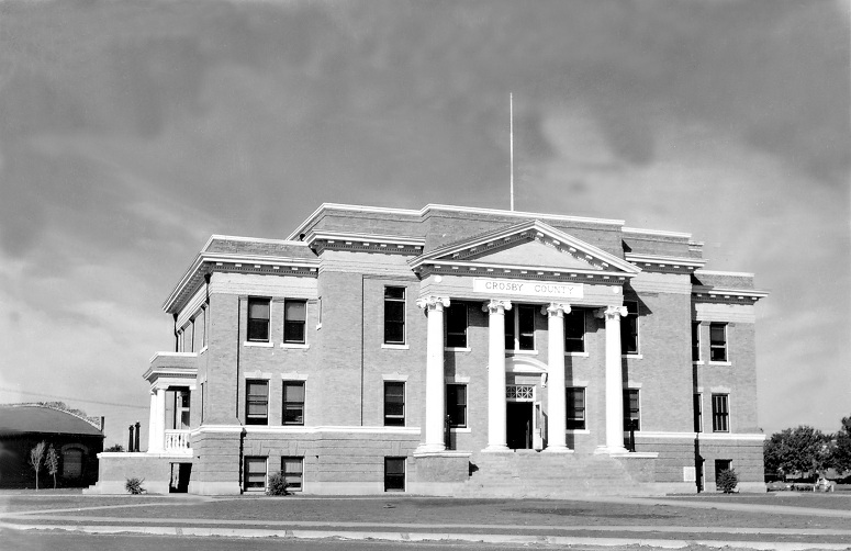
A compact classical revival design by Fort Worth architect Marion L. Waller. The building celebrates its centennial in 2014. It's in relatively good condition. Photo, circa 1939, courtesy TXDOT
|
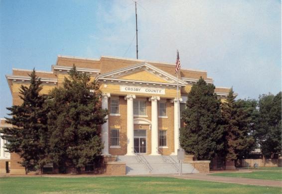
Fortunately, the massive evergreens are gone now. Image courtesy courthousehistory.com
|
The front of the courthouse faces northeast, at the intersection of W. Aspen Street and S. Berkshire Avenue
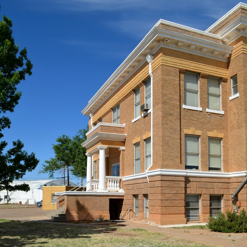
The southeast facade
|
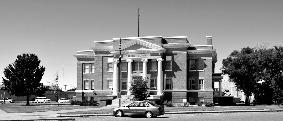
The courthouse is in good condition for a 100 year building
|
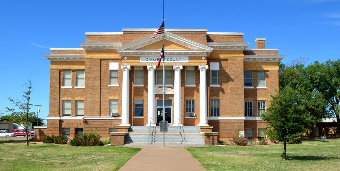
The front façade of the Crosby County courthouse
|
|
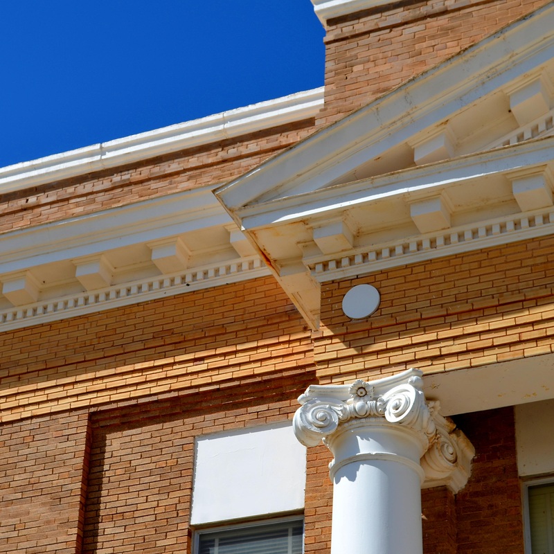
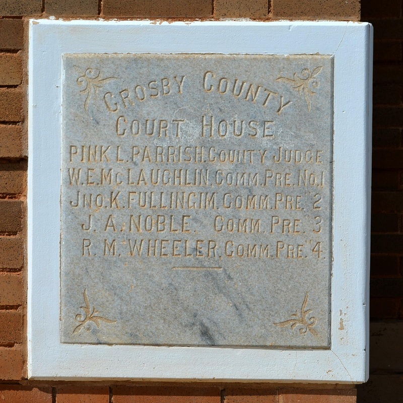
The front façade with the cornerstone
|
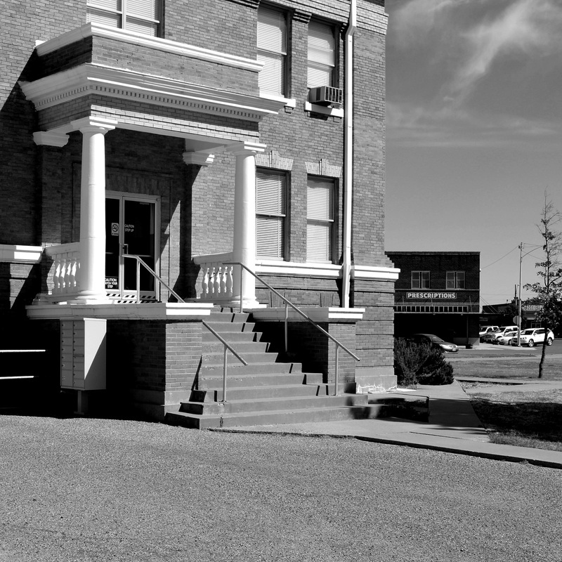
The courthouse porch on the northwest side of the building
|
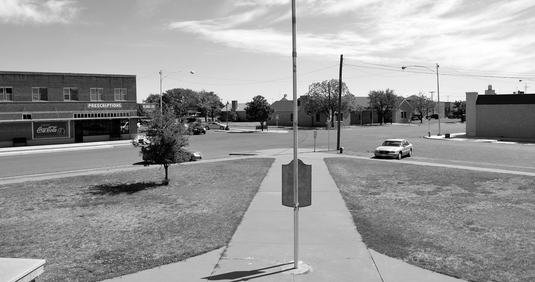
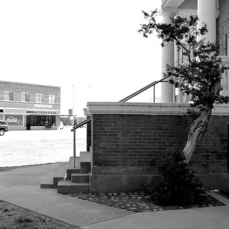
The view from the courthouse steps: I believe the town square occupied the block straight ahead. It's now filled with community buildings
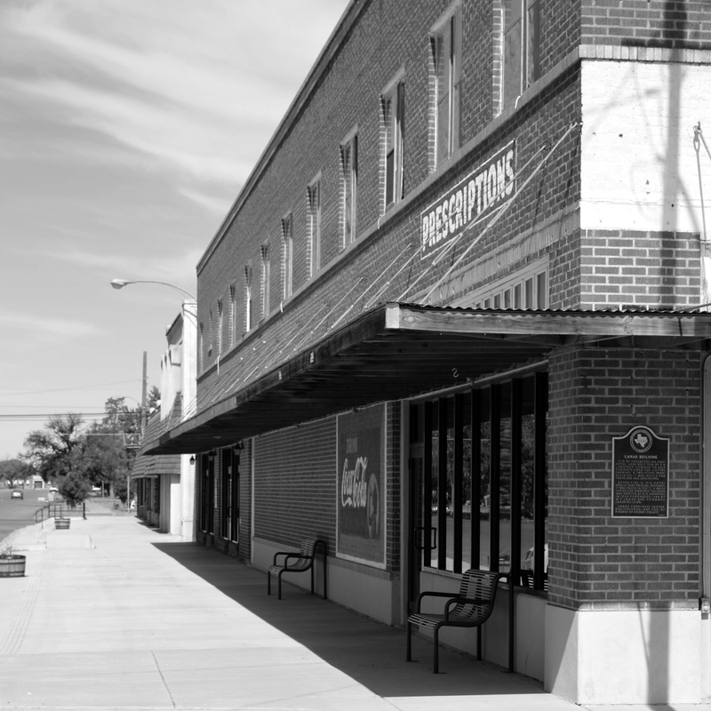
Looking west on Aspen Street, the high school is on axis at the far left
|
The southeast porch, facing S. Berkshire Avenue
|
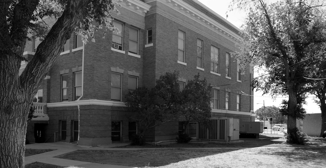
The building has a back side, facing southwest
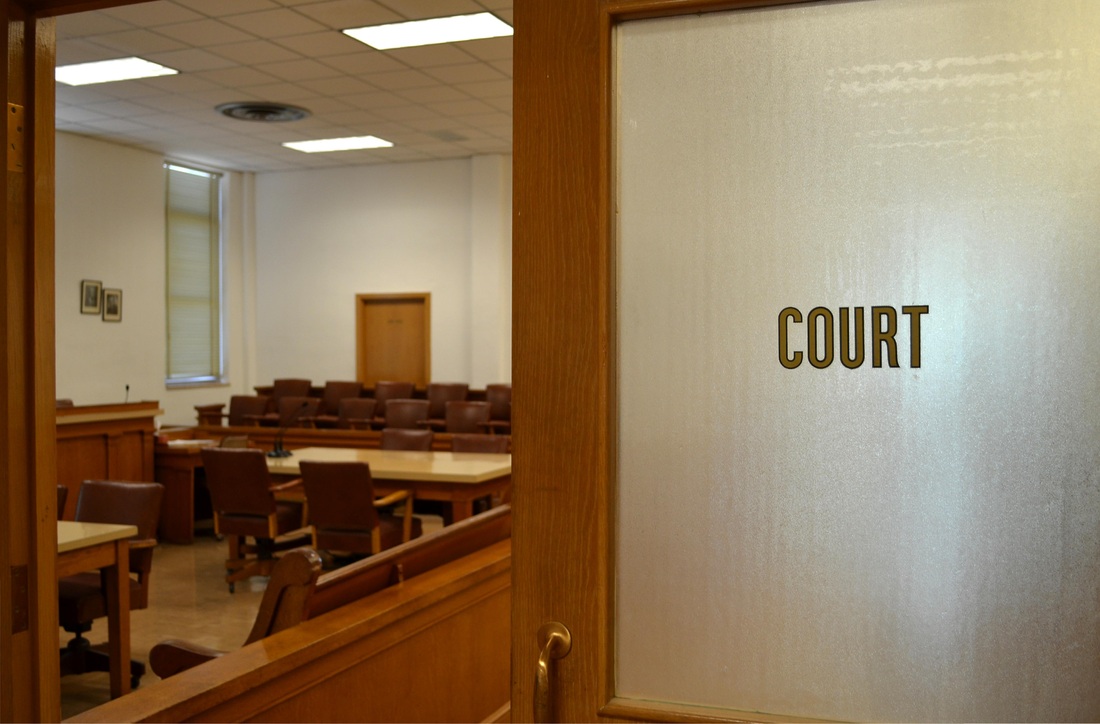
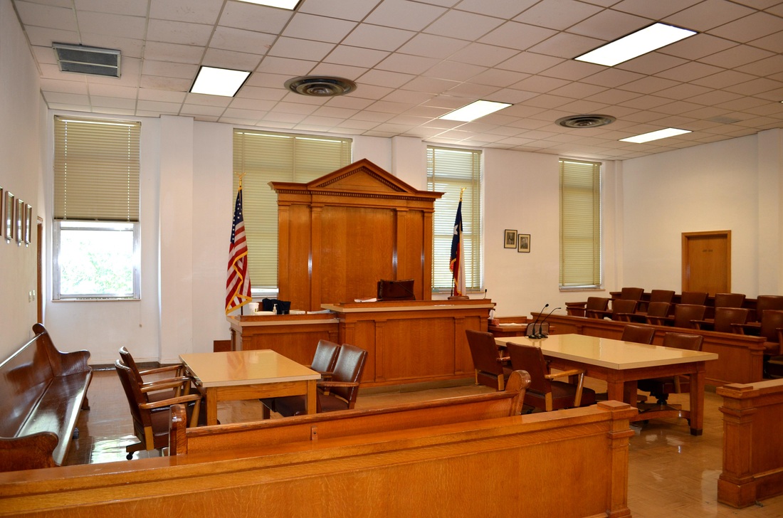
The 72th District Courtroom is on the second floor of the courthouse
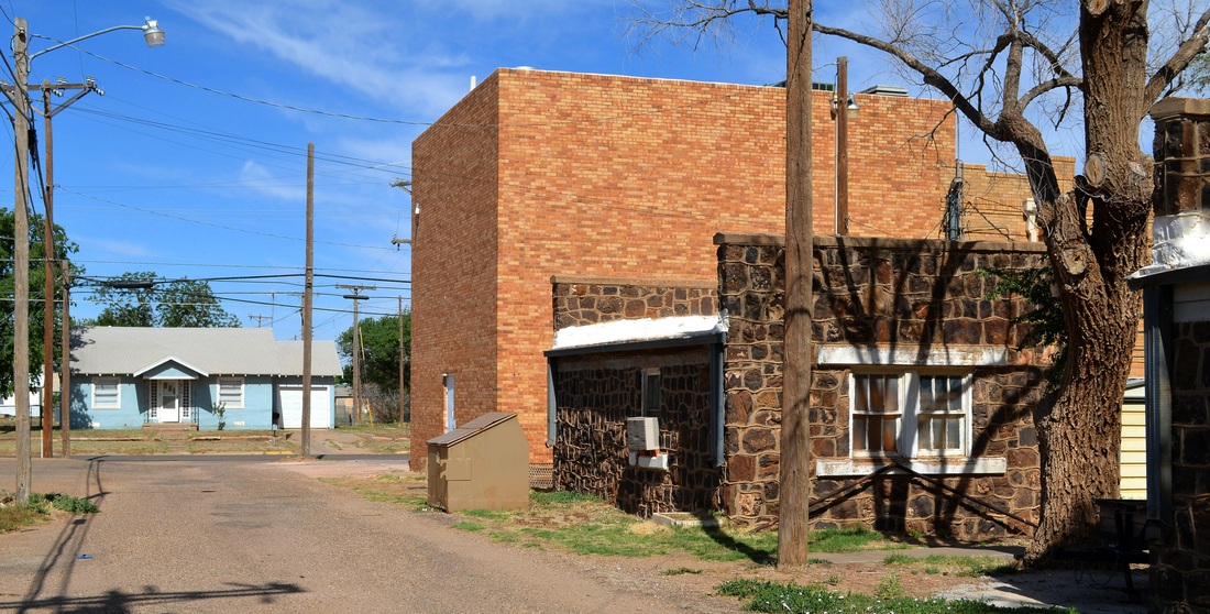
A pair of rock buildings behind the courthouse
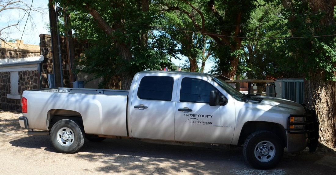
A county pickup truck in the alley behind the courthouse
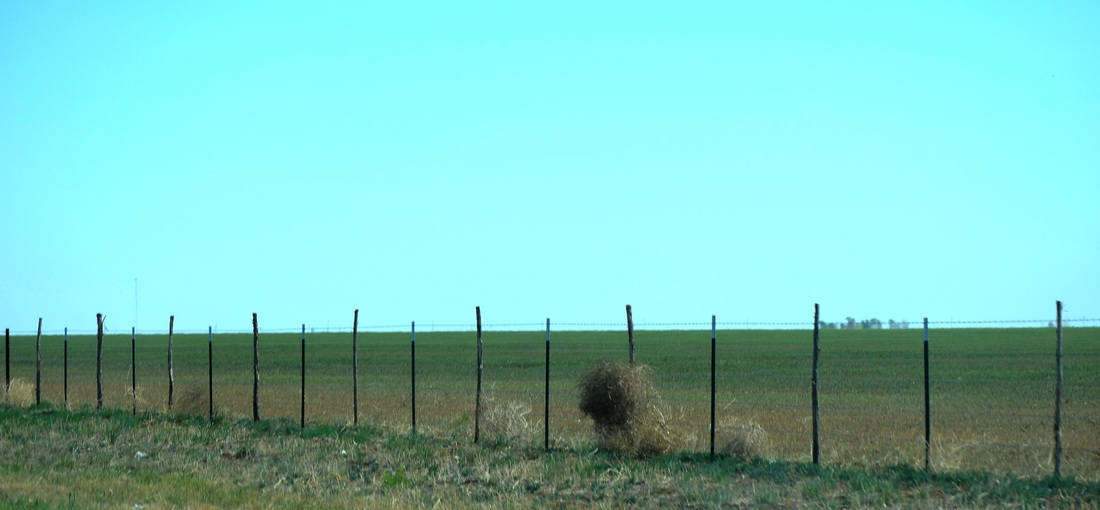
Don't fence me in!